Mountain View

Trail Overview

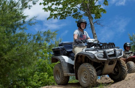
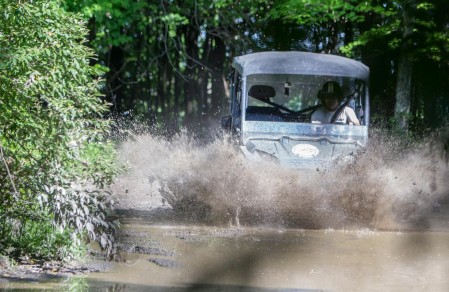
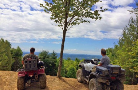
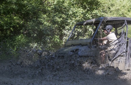
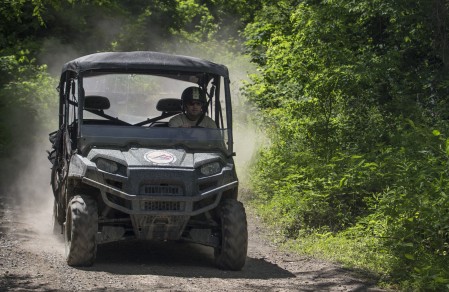
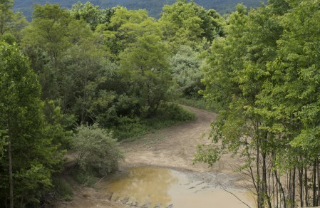
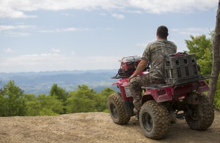
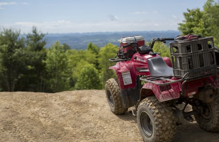
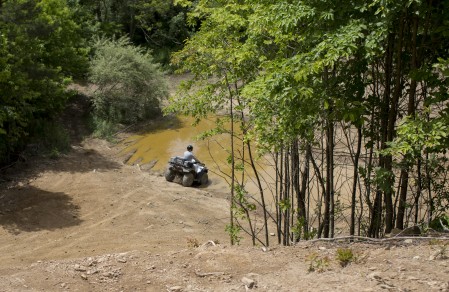
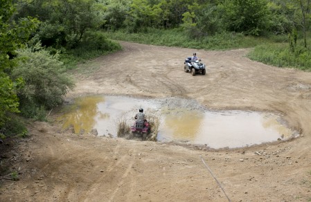
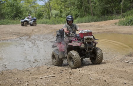
The Mountain View trail system is a multi-use trail system primarily designed for ATVs, Motorcycles and Side by Sides. With over 60 miles on 5365 acres of picturesque mountain views seen by the earliest settlers as they trekked westward for adventure and game. Riders can watch as the misty clouds roll forth over endless mountains while riding the trail. Spy abundant wildlife on this trail known for its top black bear and wild turkey encounters. Users can begin in either of the ATV-friendly historic towns of St. Paul or Coeburn where they have access to a vast selection of lodging, camping, unique shopping, and dining offerings.

Trail Map

Trail 33 off the Mountainview trail system to Honey Branch Road is now back open on both ends.

ATTENTION ALL MOUNTAINVIEW TRAIL RIDERS: EFFECTIVE IMMEDIATELY TRAILS 97, 96, AND 27 HAVE BEEN CLOSED INDEFINITELY.

THIS FALL, SRRA AND THE NATURE CONSERVANCY WHO OWNS THE LAND, WILL ASSESS OPTIONS FOR ESTABLISHING AN EQUIVALENT AMOUNT OF NEW TRAIL THAT CAN BE LOCATED IN AREAS THAT CAN BE SUBSTAINABLY MAINTAINED AND DO NOT CREATE ENVIRONMENTAL CONCERNS.

You must have a KML (Arcgis, Google Earth, Onyx) or GPX (Polaris Ride Command) file viewer to view maps after downloading the file.

Trail Photos

Vivamus consectetuer hendrerit lacus. Vivamus quis mi. Nulla porta dolor. Duis arcu tortor, suscipit eget, imperdiet nec, imperdiet iaculis, ipsum. Praesent blandit laoreet.